Woodbridge planning news
Woodbridge planning news, newest first: applications, appeals and committee decisions, each story linked back to the council file.
 Top story
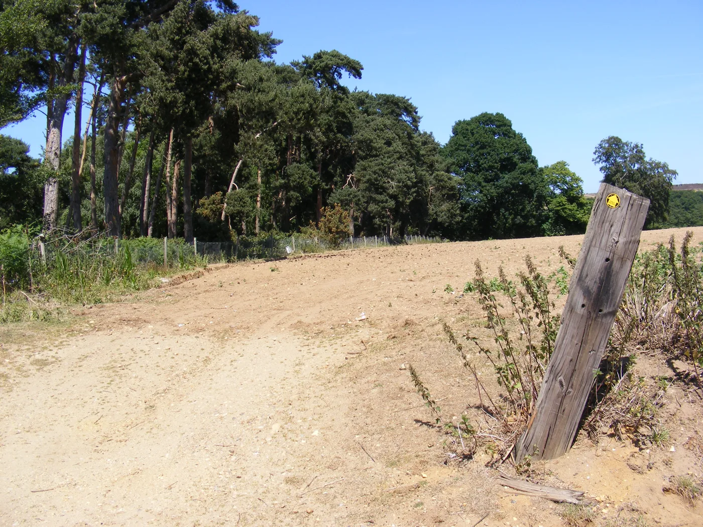
Foxhall Road 1,200 Homes Plan: Decision Due by 7 January
Bloor Homes wants up to 1,200 homes, a 420-place primary school and shops off Foxhall Road near Martlesham Heath. Eleven objections so far; how to comment.
More stories
 Melton
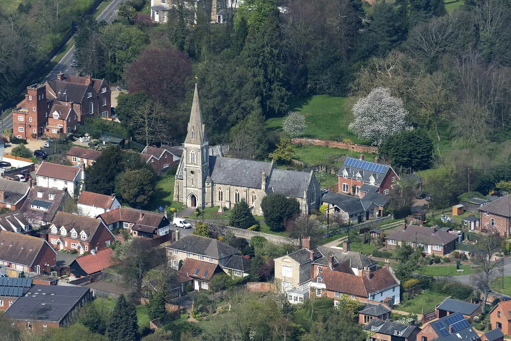
St Andrews Place Melton: 51 Homes Decision Now Due 30 Nov
The decision on 51 homes off St Andrews Place, Melton, is now due by 30 November after a second extension. Nine objections, none in support, 18 affordable homes.
 Planning
East Suffolk Call for Sites Reopens: 15,000 More Homes Due
Land can be put forward for East Suffolk's new Local Plan until 16 November. It must find at least 15,000 more homes; Woodbridge already has seven sites.
 Planning
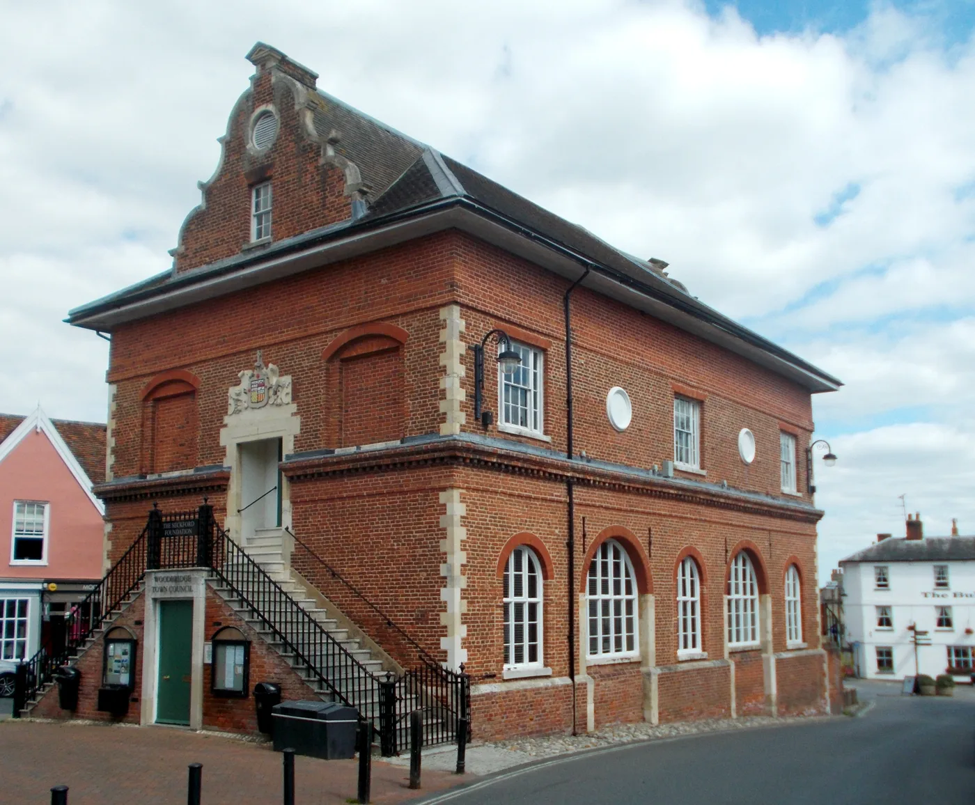
East Suffolk Planning: 3 Committees Become 1 of 13 on 31 Oct
Councillors voted to scrap Planning North, South and Strategic and run one 13-member committee from 31 October. What changes if you object.
 RSPB Minsmere
: Island Mere Ramp Approved With Passing Places
East Suffolk approved the rebuild of Minsmere's Island Mere hide ramp on 10 September, with wheelchair passing places and a second pond-dipping platform.
 A12
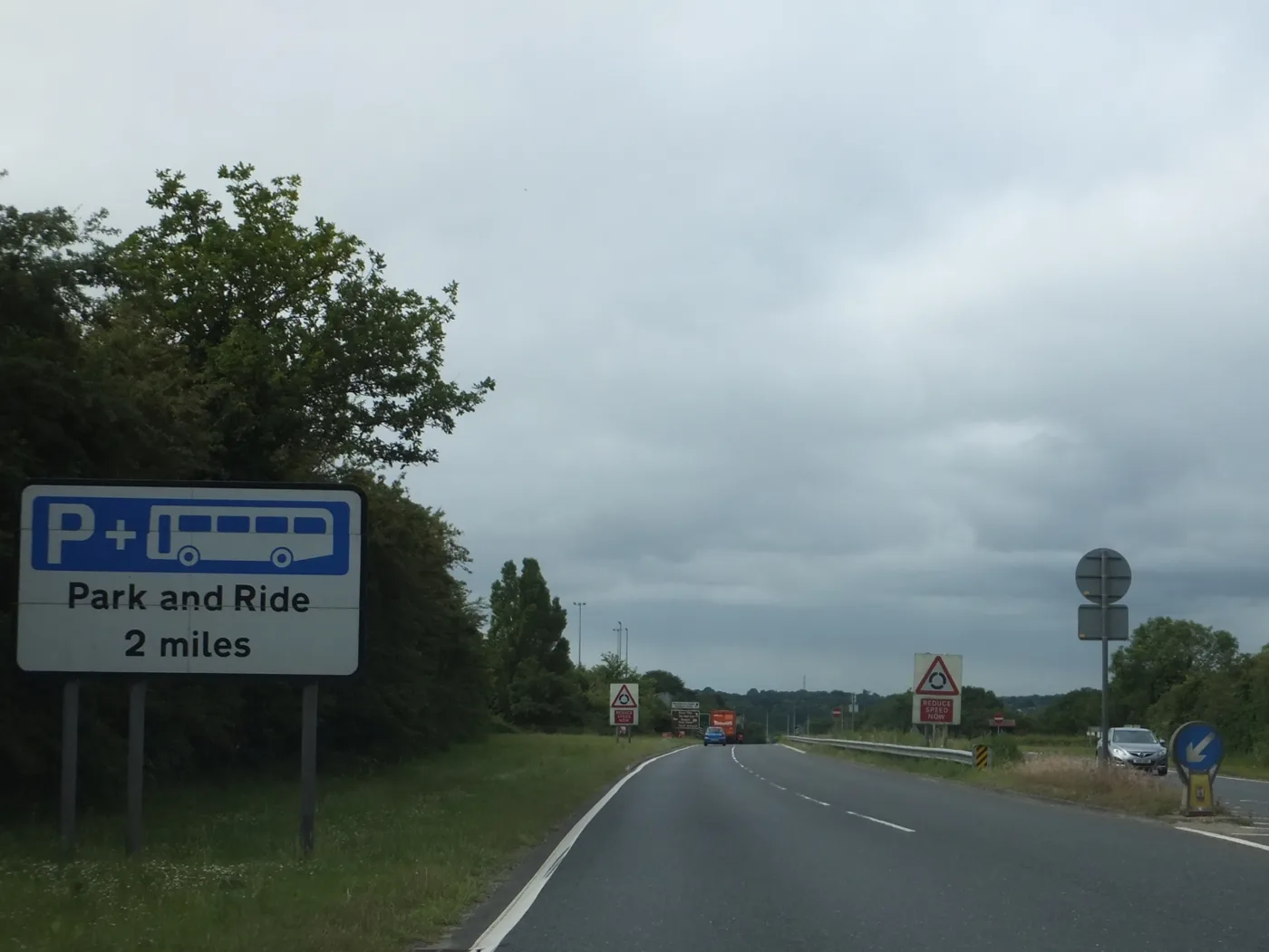
A12 Dualling at Woodbridge: Comments Reopen to 24 September
Comments on dualling the A12 to Woodbridge reopen until 24 September, and the Adastral Park mobility hub has been deleted from the scheme. 77 objections so far.
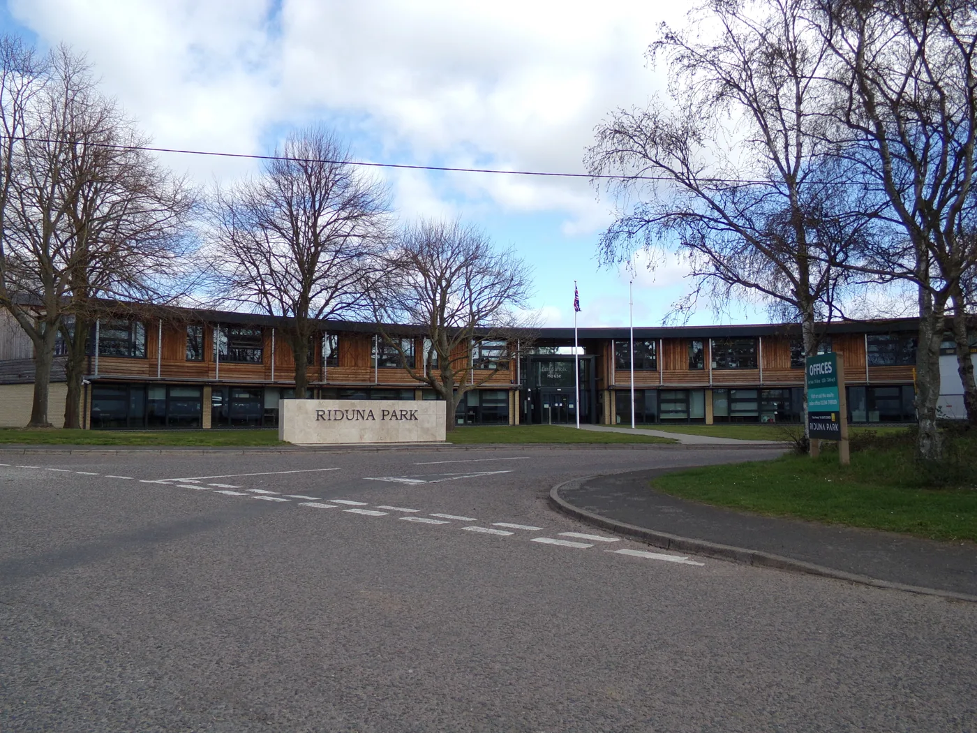 Melton
 Meadows: council recovers £750,000 unpaid levy
East Suffolk Council has recovered more than £750,000 of unpaid levy from the 54-home Melton Meadows site. Melton Parish Council is due a quarter of it.